Is Pictured Rocks National Lakeshore open right now?
National Lakeshore · MI
Partially closed
Pictured Rocks National Lakeshore is partially closed.
Why this statusMunising Falls Trail Closed Until Further Notice
Last checked Wed, 14 Oct 2026 13:00:58 GMT
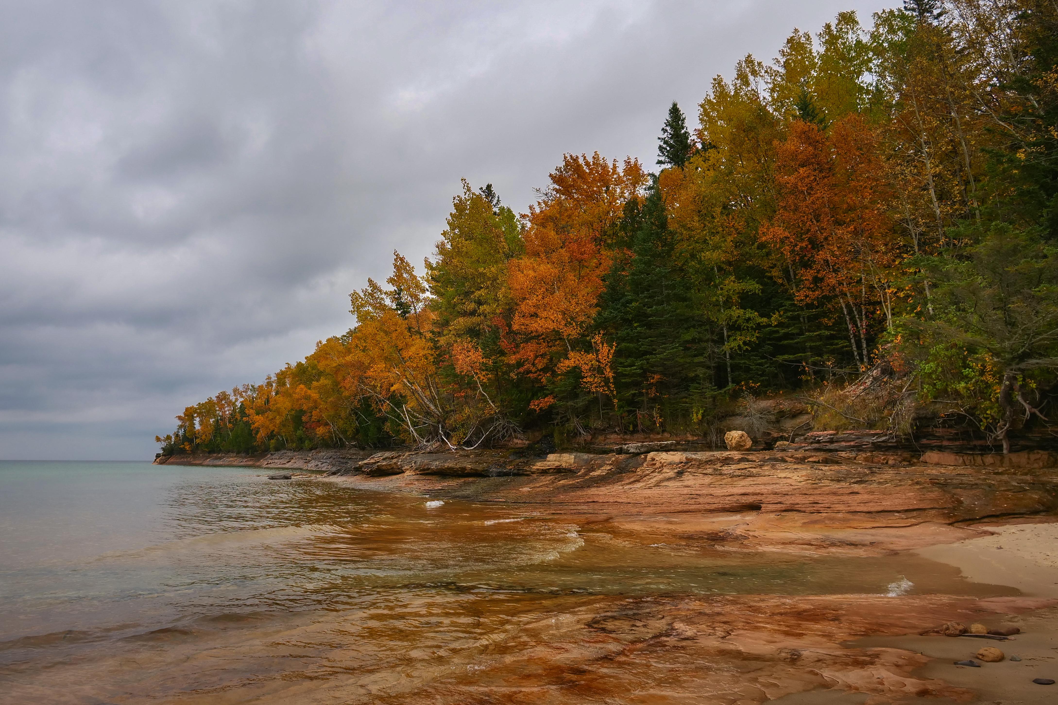
Sandstone cliffs, beaches, waterfalls, sand dunes, inland lakes, deep forest, and wild shoreline beckon you to visit Pictured Rocks National Lakeshore.
- Type
- National Lakeshore
- State
- MI
- Nearest town
- Munising
Government shutdown
A federal government shutdown is in effect. Access and staffing at National Park Service sites vary — some close and barricade entrances, some stay open but unstaffed. Live shutdown status →
About Pictured Rocks National Lakeshore
Sandstone cliffs, beaches, waterfalls, sand dunes, inland lakes, deep forest, and wild shoreline beckon you to visit Pictured Rocks National Lakeshore. The power of Lake Superior shapes the park's coastal features and affects every ecosystem, creating a unique landscape to explore. Hiking, camping, sightseeing, and four-season outdoor opportunities abound.
Read more on Wikipedia ↗ Text from Wikipedia, CC BY-SA.
Visitor info
Address1505 Sand Point Road, Munising, MI 49862
Hours| Mon | All Day |
| Tue | All Day |
| Wed | All Day |
| Thu | All Day |
| Fri | All Day |
| Sat | All Day |
| Sun | All Day |
Pictured Rocks National Lakeshore Getting therePictured Rocks NL is located on the south shore of Lake Superior in Michigan's Upper Peninsula, between the towns of Munising (west) and Grand Marais (east). Access the west side of the park via Michigan highways M-28 and M-94 to Munising. State highway M-77 leads to Grand Marais on the east side. Alger County Road…
How we read this status
We derive Pictured Rocks National Lakeshore's status from the National Park Service's own alerts and operating hours, refreshed hourly — this is our reading, not an official determination. As of the last check: Munising Falls Trail Closed Until Further Notice Full method: how we check park status.